Thunder jars me awake as I absorb my surroundings along the Tammany Trace. I look at the paved trail slicing through the woods in one direction and crossing the bridge over Bayou Lacomb in the other. It had been a long day already, but there was still another 10 miles to go.
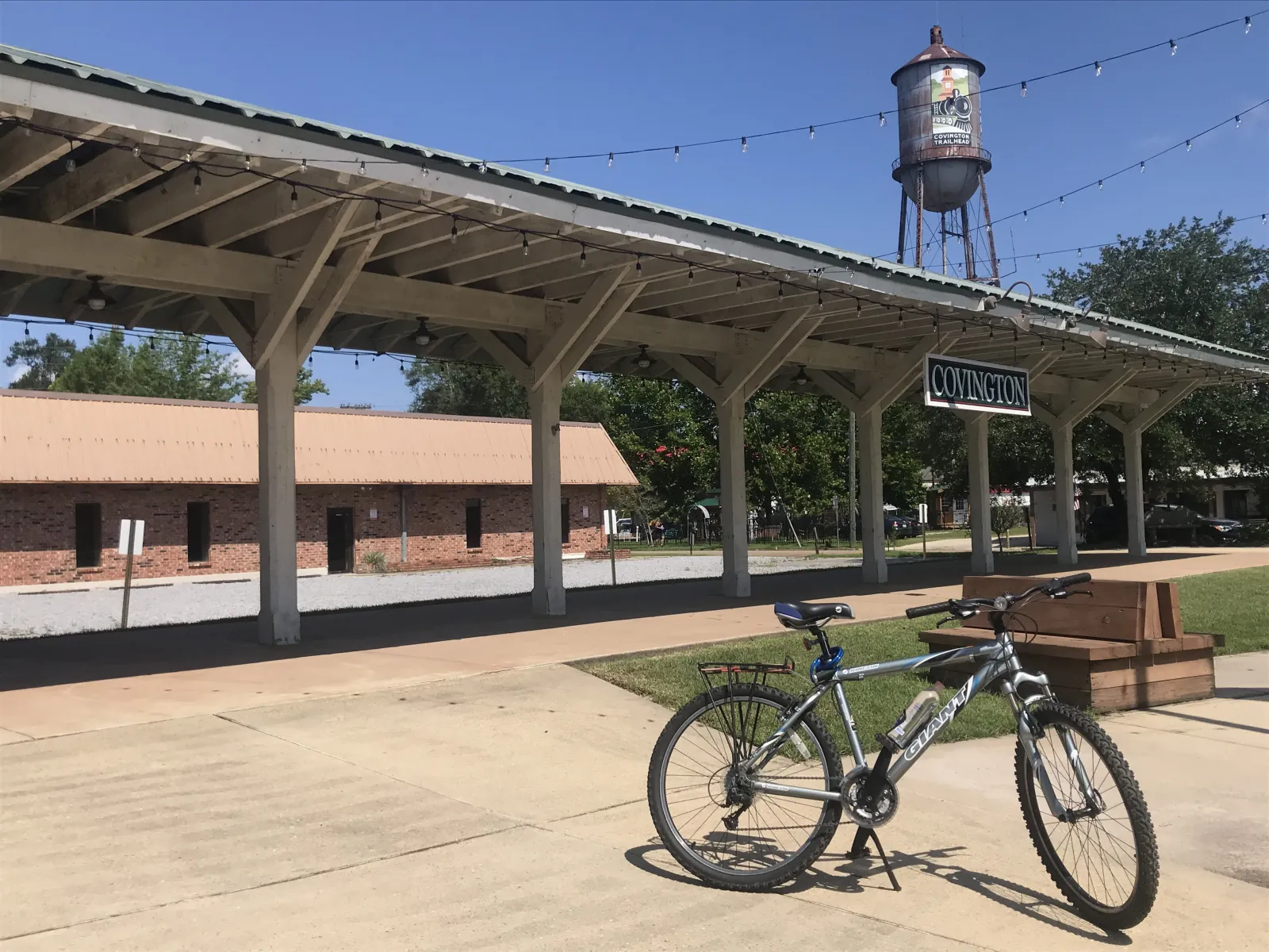
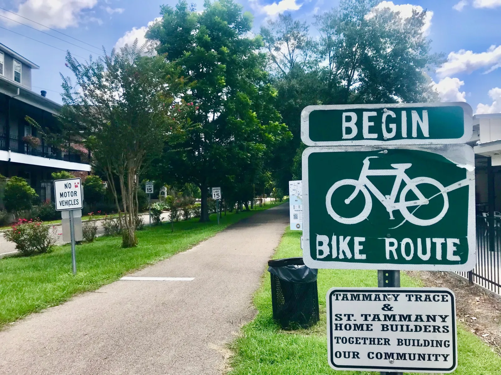
Four-and-a-half hours earlier, I started at Covington Trailhead—a brick-scaped pedestrian plaza and former train depot. As someone who enjoys cycling—not an avid rider—the sun quells my motivation, but the excitement of conquering the Tammany Trace Bike Trail, and a tease of a cooling rain ahead, wins the day.
Before the Storm
Covington
After filling up bottles at the Covington Trailhead Museum and Visitors Center's water fountain to stay hydrated, I begin the ride toward Slidell's Heritage Park, 31.74 miles away. The well-marked path starts by sharing quiet Gibson Street through the center of town.
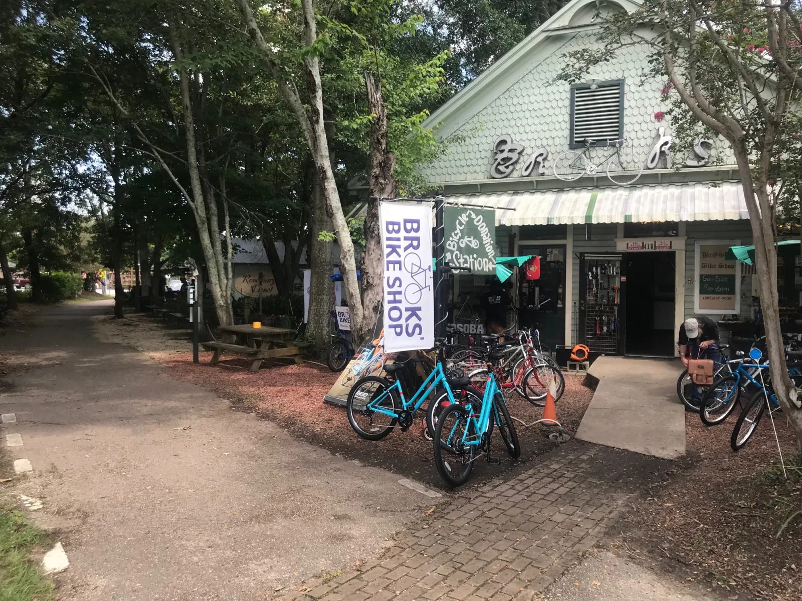
Minutes on the Trace, I quickly realize more provisions are needed. Beyond renting and repairing bicycles, Brooks' Bike Shop has an abundance of cycle-related supplies for any last-minute necessities. I felt better prepared for the trip with their advice and expertise.
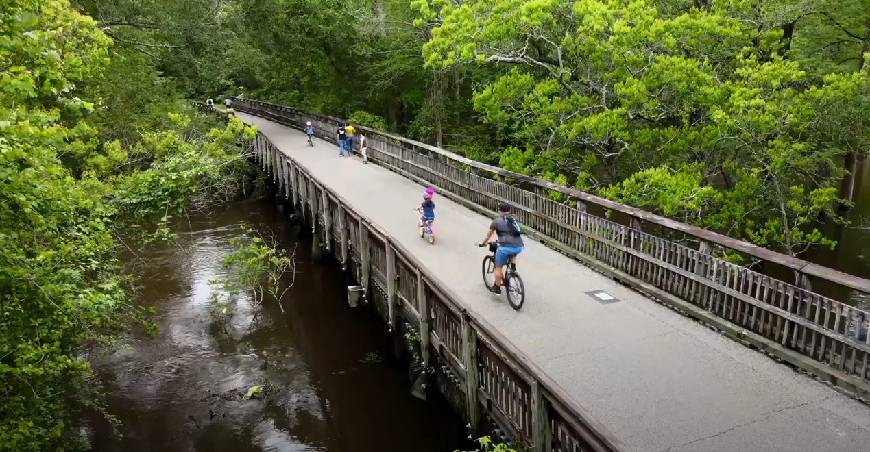
Bridges present panoramas of Bogue Falaya with kayakers and daring bridge jumpers. Signs warn of detours many miles ahead—a reminder of the constant care needed along Tammany Trace. When the St. Tammany Parish government purchased the defunct Illinois Central Railroad rail bed in December 1992, they did so with the commitment to maintaining the trail for recreation between the towns it traverses. For over three decades, the parish relies on the financial assistance from grants and federal dollars to maintain the 30-plus-miles of paved path, as well as original railroad trestles converted into pedestrian bridges.
For three-and-a-half miles, the tree-lined Trace maintains a flat terrain. Shelters from the sun along the Trace become reliable reminders to hydrate, taking swigs of water when I pass them. Suddenly, a noticeable flurry of people at the end of the leafy tunnel ahead signals the approaching Abita Springs.
Abita Springs
Coming into Abita Springs Park, the source of the town's famous "healing water" containing minerals "with good medicinal qualities," the cooling splash pad is noticeably active. Even more welcoming is the Abita Brew Pub, site of the original brewery until it outgrew the space in 1994. Beyond the relaxed restaurant is the Abita Springs Trailhead and Museum—also the town's former railroad depot.
Most of the Trace's trailheads are renovated train depots, adapted into museums and visitor centers. Amenities include water fountains, public bathrooms, and shelters to rest; some even have train crossing signals as a homage at the crossings. Other trailheads emulate a depot as a nod to the trail's railroad past.
The ride continues as the trail curves right into tree cover. Along this stretch, horseback riders share the pathway when equestrian trails parallel the Trace in places. Along with pets, motorized vehicles are not allowed, with the exception of the Tammany Trace patrol vehicles—a scooter and a tiny car. Of the few riders and hikers utilizing the trail during my ride, several are transacting business deals, gossiping, or listening to music. I choose to absorb the more subtle sounds of wildlife and the wind in the rustling leaves.
Within sight of Interstate 12, signs warn that 560 feet of the path is closed while the interstate is being widened. A detour around the impasse until summer 2022 has no helpful signs or directions visible. Thankfully, my stop at Brooks' Bike Shop clued me into their Facebook video link to guide riders around the construction. The video even presented a short cut along a "hidden gem" boardwalk behind the St. Tammany Parish Tourist & Convention Commission buildings. While inconvenient, the maneuver is fairly easy, but anyone forgoing a bike helmet might rethink the decision when riding the busy but shoulderless Route 59 and Dove Park Road. Happily, the Trace is accessible again in minutes.
The Trace parallels Route 59 straight south until a left curve glides the bike into Old Mandeville's bustling trailhead. Farmers' markets, art fairs, live concerts, and other activities lure people to the expansive trailhead.
Mandeville
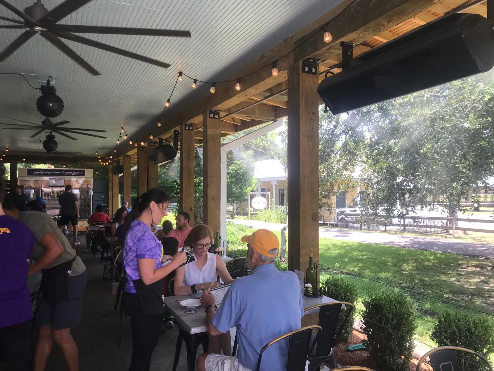
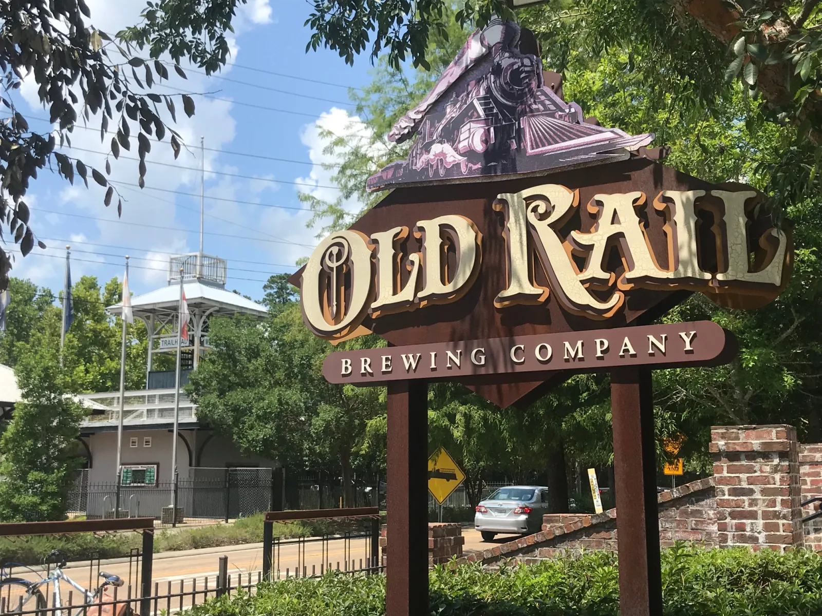
The Mandeville Trailhead is surrounded by restaurants and shops line the streets that cross the Trace, including Old Rail Brewing restaurant. Based on the wall of bicycles locked to their fence, the eatery successfully caters to weary travelers…like me.
After light bites for lunch, I return to my bike, undaunted and recharged.
Lacombe
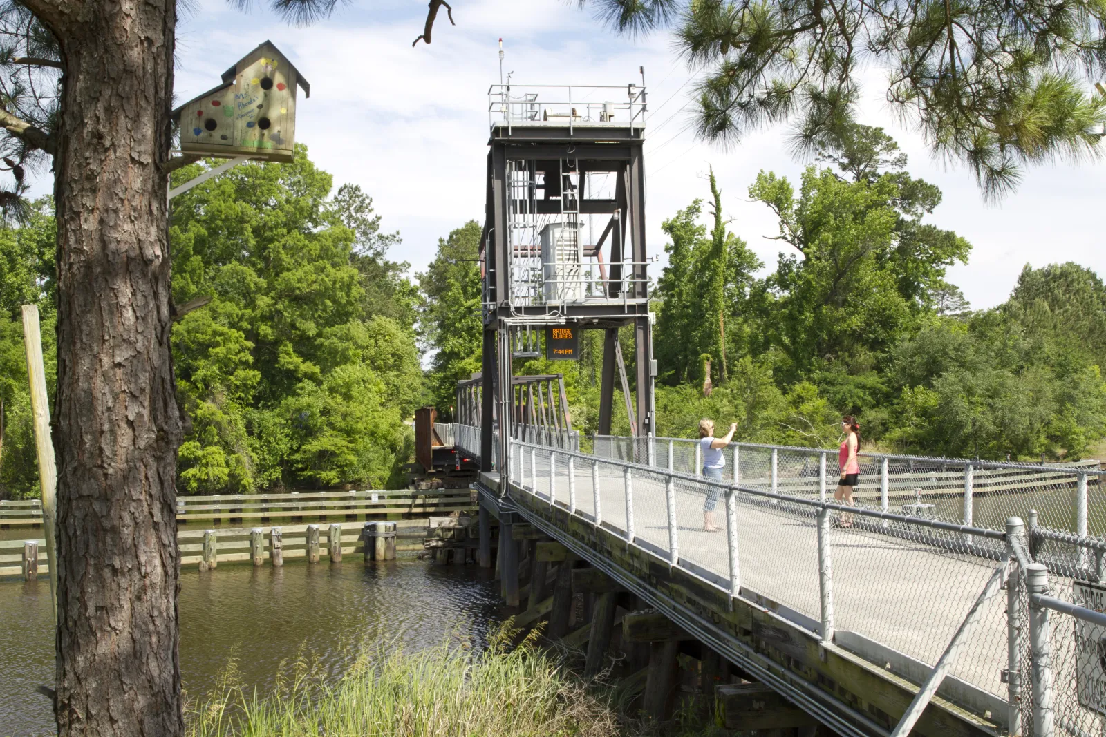
Along the nine-mile section slicing through the woods to Lacombe, the Tammany Trace passes by Fountainbleau State Park, Northlake Nature Center, Pelican Park, John T. Davies Park, and within blocks of Lake Pontchartrain. Colorful dragonflies skim the air next to me like dolphins alongside a boat. For an hour-and-a half, I continue through the heat until it starts to drizzle. The bike skids under a shelter before a trestle crosses the bayou at Lacombe Trailhead, just as the deluge—and the lightning—begins.
After the Storm
Slidell
The thunderstorm had cooled the air significantly; so awake and alert, I'm ready for the remaining miles ahead. Because the Slidell trailhead—seven miles ahead—is also the Andrew C. Carollo, Sr. Park & Ride, it's easy to miss. But the charming Texaco Boardwalk and the coldest water fountain alongside the Trace makes it worth the stop.
"I like that it's off the highway," Carolyn Robbins from Long Beach, MS, said in Slidell. The first-time "Tracer," training for an Iron Man race, is exploring Tammany Trace on the suggestion of friends. "It's safer being away from roads, so I can focus on my technique."
In another mile, the Trace makes a sharp right to parallel Highway 190, then is a town road into Camp Salmen Nature Park, meandering around the park's trailhead, before continuing on.
For the final stretch, the path zig-zags on some poorly signed, but generally quiet town streets until the final stretch into Heritage Park. The accomplishment felt rolling up to the park's Scogin Station is palatable…and so is the celebratory bevy at the adjacent Palmettos On The Bayou during sunset.
Tracing the Trail Heads
(West to East)
Covington Trailhead
Originally a corridor for the Illinois Central Railroad, the Tammany Trace terminal is in downtown Covington.
Abita Springs Trailhead
Although not originally the town depot, the trailhead and museum buidling was moved to the site. Formerly, the structure was the bachelor quarters of the town's Longbranch Hotel in 1911. From Covington, it's a 3.55-mile ride over the Bogue Falaya River into downtown Abita Springs.
Mandeville Trailhead
A renovated train station now serves as The Mandeville Trailhead, with public restrooms, pavilions, an amphitheater, a tower and picnic facilities. It is 4.38 miles south of the Tammany Trace Headquarters.
Lacombe Trailhead
The Bayou Lacombe drawbridge was opened in 2008, and a trailhead shelter overlooking Bayou Lacombe was opened in 2011. Here you will find the bridge tender, ranger station, water fountains, and restrooms.
Slidell-Carollo Trailhead
It's a 7.17-mile trek from Lacombe to the Slidell-Carollo Trailhead, where you'll find parking, information,
and restrooms.
Camp Salmen Trailhead
Connected to the trail in October 2020, the Trailhead emulates a depot as an homage to its railroad history.
NOTE: At press time, the Tammany Trace and Camp Salmen are closed due to damage from Hurricane Ida. Please do not use these areas at this time—check campsalmennaturepark.org for updates to reopening this section of the Trace.
Slidell Trailhead
The Tammany trace is in the process of culminating in downtown Slidell at Heritage Park to picnic, enjoy annual events and festivals, or just enjoy a pre- or post-ride bevy at
Palmettos On The Bayou.

